Hidden off the path sits the marker noting the top of Black Mountain, Kentucky. (Photos)
Sitting on the border with Virginia, Black Mountain stands at 4145 feet, making it the highest point in the Commonwealth of Kentucky. Those hoping to reach the highest point of the Blue Grass State have a few hoops and hurdles to jump through before getting ready to hike to the top.
Before heading to the top of the mountain, make sure to have a waiver notarized for everyone in your party.
After the paperwork is complete, finding the way to go to get to the top can be complicated because there is very little to mark anything on the trail. Back in the day, Black Mountain had many trail roads built to help trucks with the removal of coal from the mountain, and many of these roads are still pretty well preserved. However, there is not much to help hikers and highpointers find the top of the mountain by the way of signs and markers on the trail.
There are two places to park near the Kentucky/Virginia border. The first is at a look out right off of the main road, and the other is a turn off onto the mining road with a parking area that also looks like it doubles as a firing range.
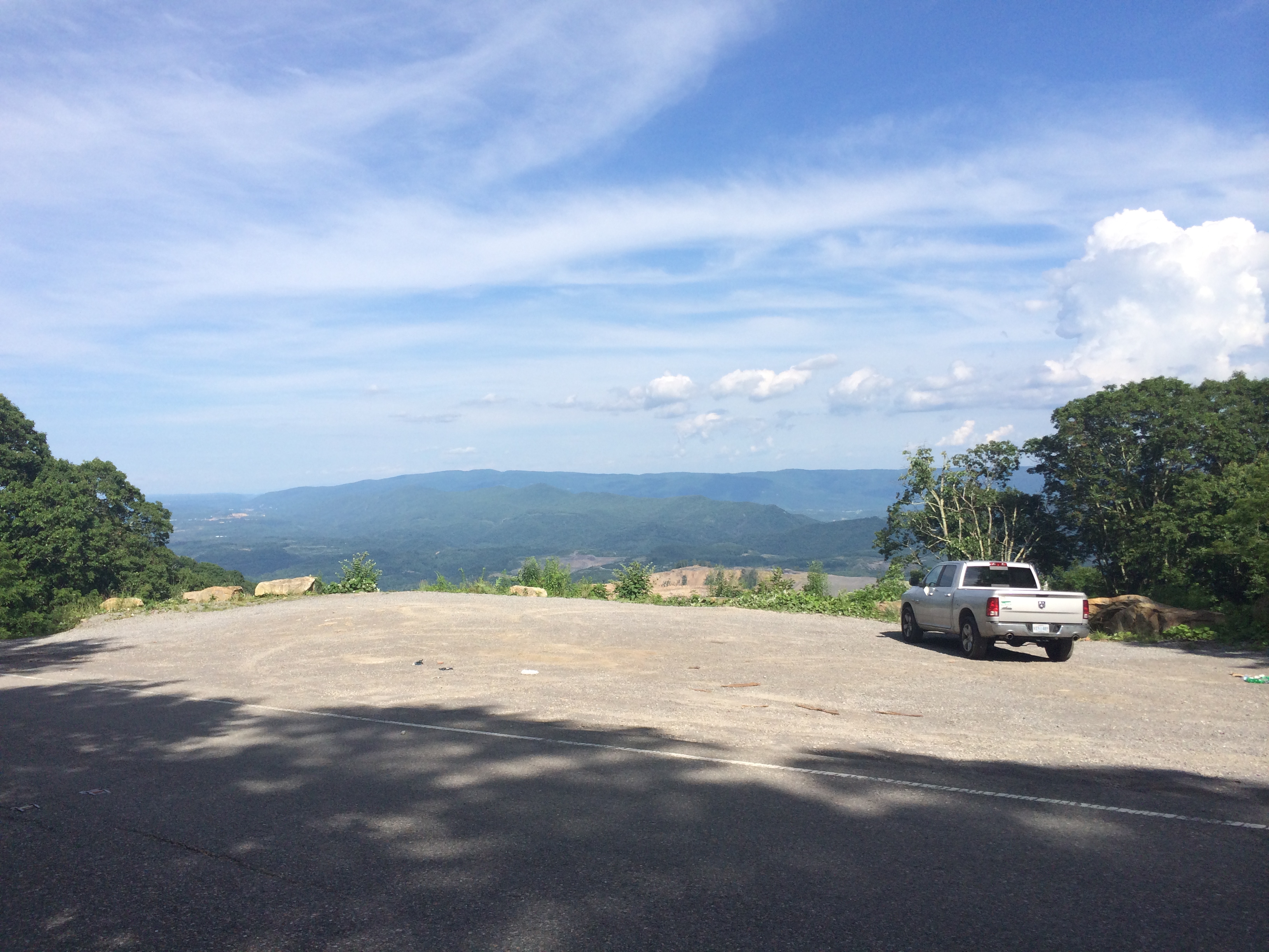
Parking Area in Virginia just off of Highway 160.
When heading up to the top, be aware of vehicles traveling the roads as well. While on the trip to the top, I passed some folks who saw a pile of rocks and confused it as the top of the mountain, had a car drive to the top and back down, and saw other people just out doing stuff in the woods.
Along the way, there are many different roads and turns that one can take that will not lead to the top of the mountain. While heading to the top, we passed this radar, and a family who assumed this was the top of the mountain because a radar was there. While this is not the top, it is pretty close to it.

Radar that will be on your right on your way to the top of the mountain
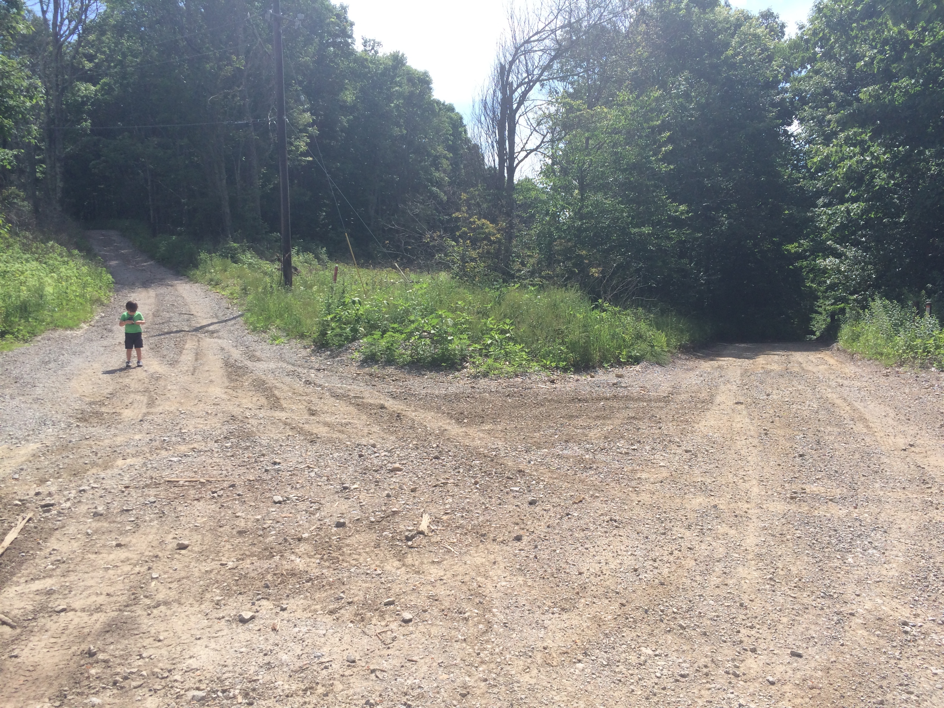
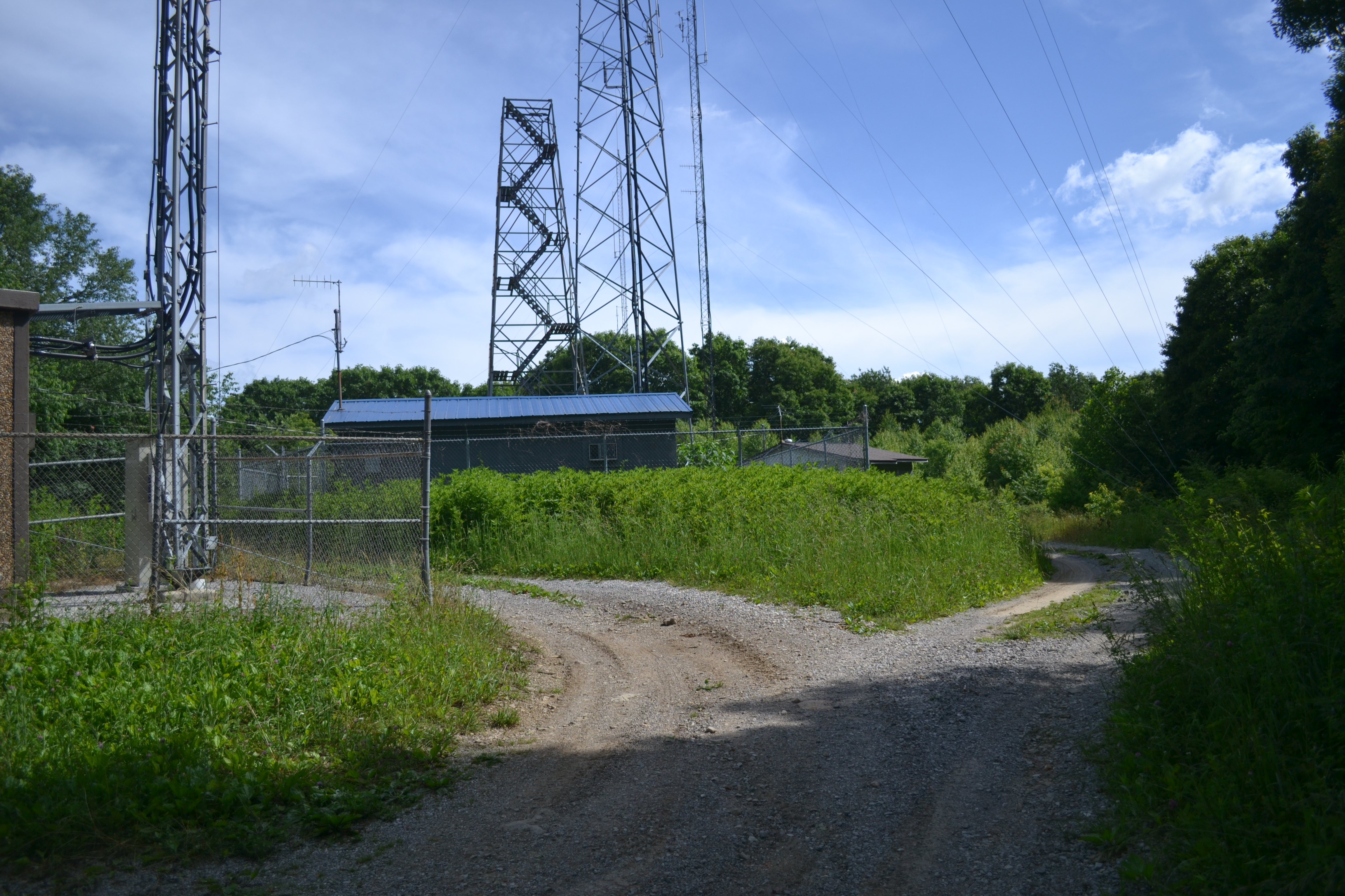
Fork in the road near the highpoint
The fork in the road is not far past the radar. The road to the right goes to a different area of the mountain, so choose the path on the left to reach the summit of Black Mountain. Once there, the view is somewhat sad in that there is just a bunch of abandoned buildings. Just off to the left (I’m not great with actual directions) of the fire tower, there is a short footpath that will lead to the highpoint marker.
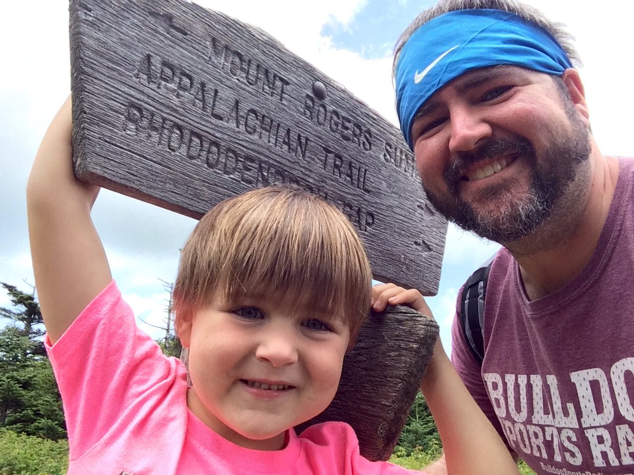
The summit area of Black Mountain.
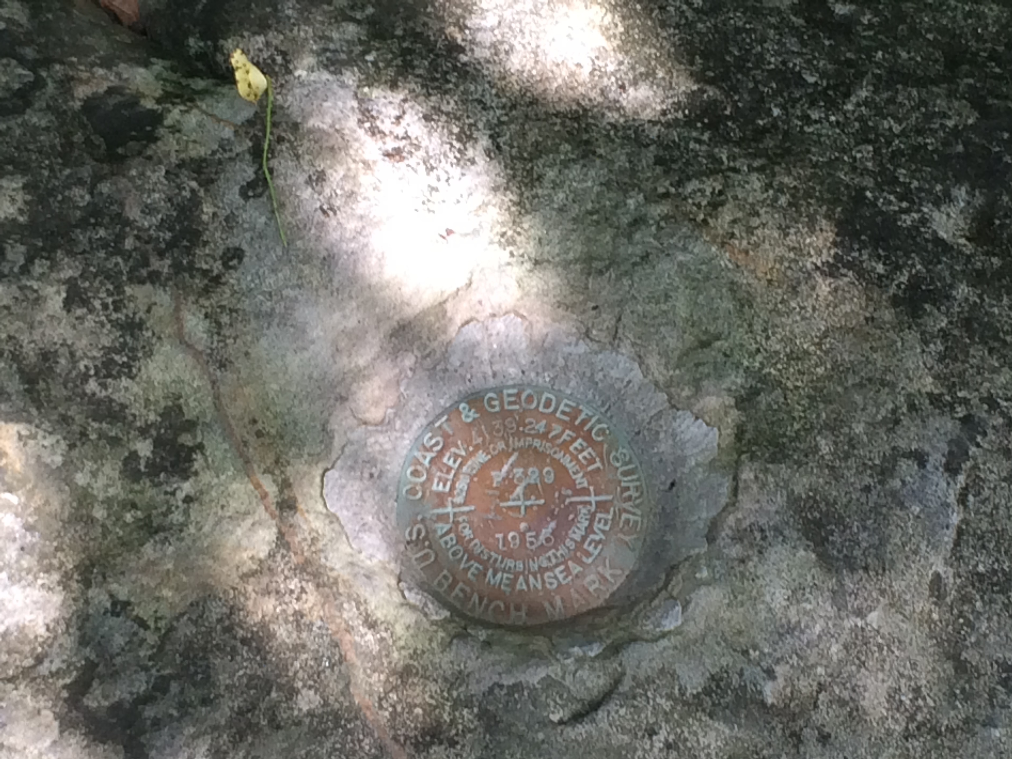
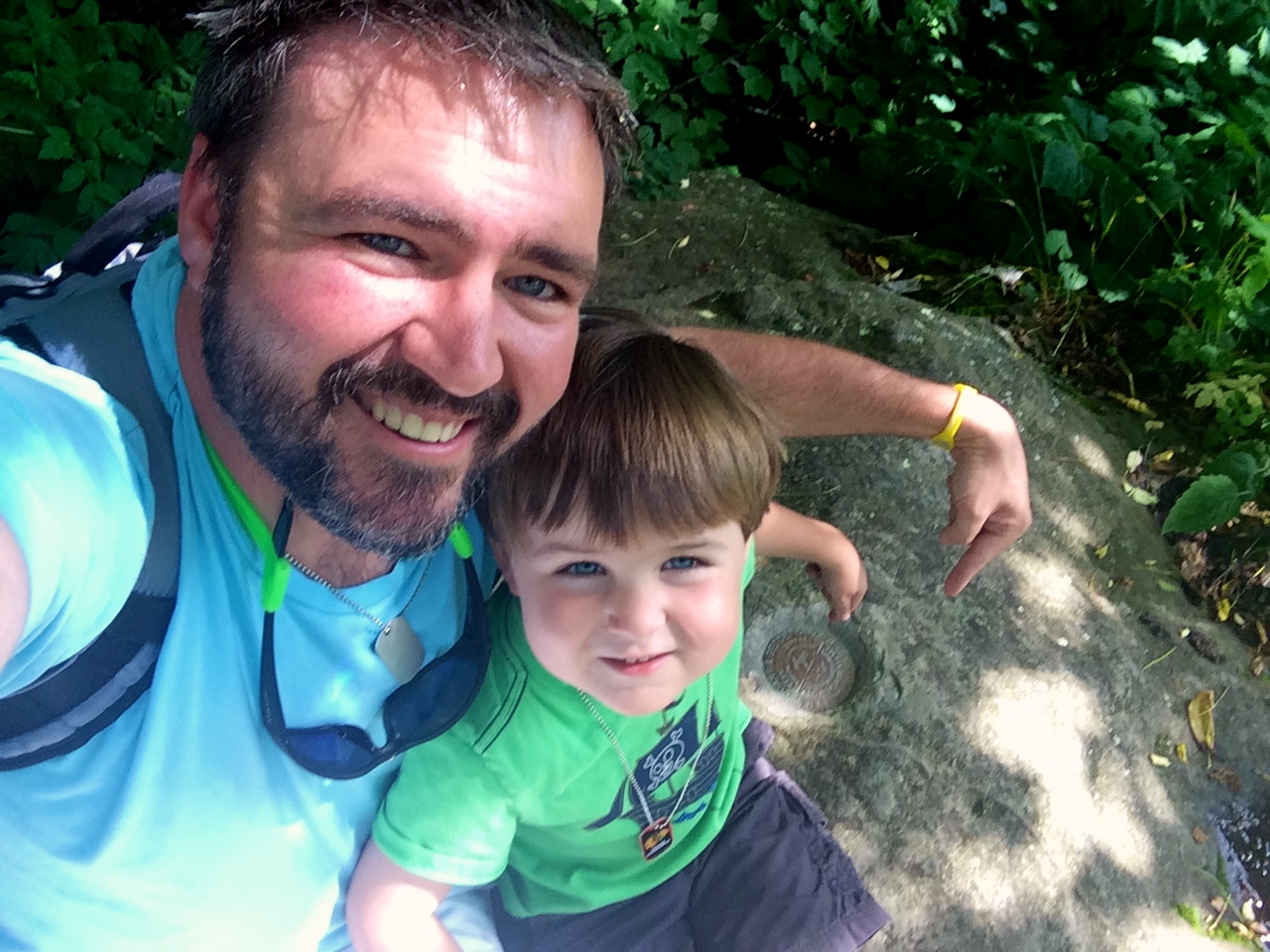
The top of Black Mountain.
The hike to the top of Black Mountain does not have the most impressive scenery. It is pretty wooded, and there are not many places to look out at other areas. Perhaps the best place to see out is in the area surrounding the radar. Off of the trail, the lookout/parking area in Virginia provides a nice, but depressing view. Just across the way, it is easy to see the impact of strip mining on a mountain.
In the quest for energy and resources, it is tough to say what the right decisions are, and how one should reach such decisions. No matter your take, it is a bit sad to see the destruction that the process can cause.
While the hike may not be amazingly impressive, the drive on Hwy. 160 provides a great deal of scenery to take in along the way.
